You are currently browsing the tag archive for the ‘US Customs’ tag.
Spoiler alert: we made it!
Start: Destruction Bay, Yukon Territory, Canada
End: Anchorage, Alaska, USA
Miles: 542 mi
TOTAL TRIP STATS: 3,700 miles / 6 days / avg. ~ 610 miles a day, or 12 hours of driving
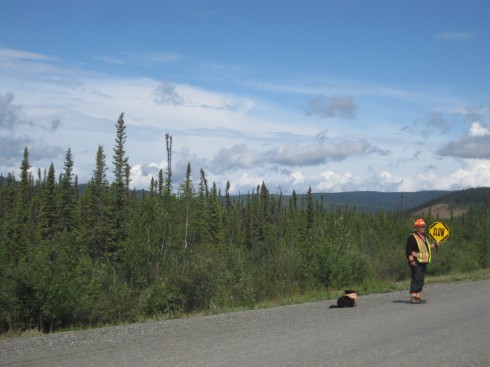
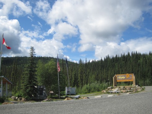
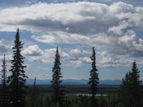
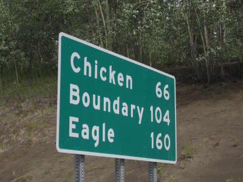
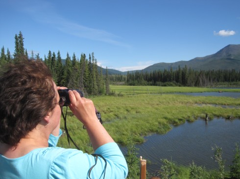
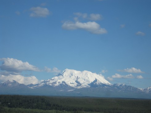
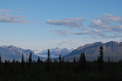
Highlights: Seeing a grizzly bear and two cubs on the road right before the U.S. border … we couldn’t stop because we were in a line of construction. Those things sure are big! Arriving back in the U.S. after five days! Cheap(er) gas prices, with no need for litre and dollar-amount conversion. Seeing not one but TWO brochures for Chicken, Alaska – and stopping to take a photo of the sign at the start of the highway up to it. Meeting a couple from Washington and seeing a moose through binoculars. Crazy wind and mountain views all along the highway to Anchorage. Driving through a winding mountain pass, with a road sort of tacked onto the side like it would fall off with a little shake. Stopping to observe a glacial stream (and learning a thing or two about property ownership in Alaska… turns out even on public roads, the land itself is owned to the centerline by the parcel owners…) Knowing this was finally, finally the last day of driving – and being able to make the push through. Returning to multi-lane highways between Palmer and Eagle River. Driving into civilization. Seeing the big “Anchorage Welcomes You” sign. Stopping. Sleeping. Not driving anymore.
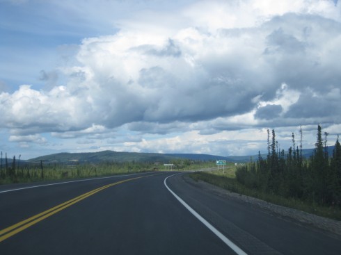
Lowlights: Road quality, although it actually wasn’t as bad as we had heard. The roads outside Whitehorse were almost worse, as (unlike most other times we’d driven) it had not been previously raining, so the dust kicked up in all its dusty glory. Getting to our motel room at 1 AM after unloading all my stuff and realizing there was no way we would get a good night’s sleep on my empty floor.
I haven’t gotten the Google map to work properly since I posted it on Day 2, but in the interim they seem to have updated the route to include that last bit of bad road between Whitehorse and Beaver Creek – before, Google directions would not even register that segment as a passable road! (And to be fair, some of it was pretty bad… full dust and gravel and major potholes). Here is a link to the overall route map, starting from the Chicago area (and not including the drive from Ithaca to Buffalo to Hilliard to Indiana). And here is the total route from Ithaca, about 4,500 miles.

